Welcome to the Sterling Highway MP-45-60 Online Open House
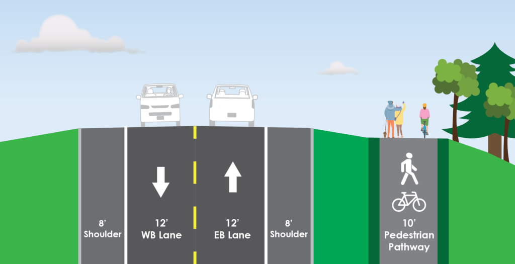
The project is planned to reduce highway congestion, meet current design standards, and improve highway safety.
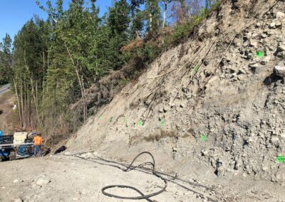
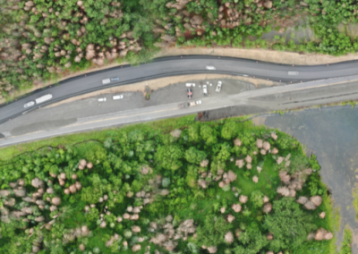
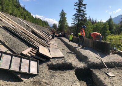
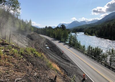
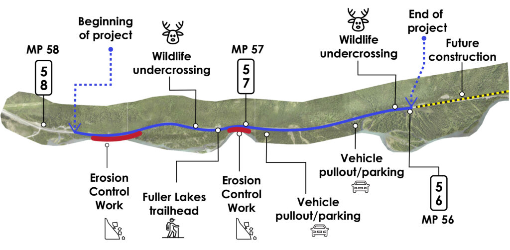
Construction on the current highway at MP 56-58 will continue through the fall. Design continues on the middle and east ends of the project.
For more information, visit sterlinghighway.net or email the project team at [email protected].
Navigating this site:
This site is best viewed on your desktop or laptop computer at 100% view. You may scroll down at your leisure to view each station, use the dot navigation on the right side of your screen or use the top navigation to skip to different stations.
View the full presentation and video:
Let’s get started!
Station 1 - Project Overview Map
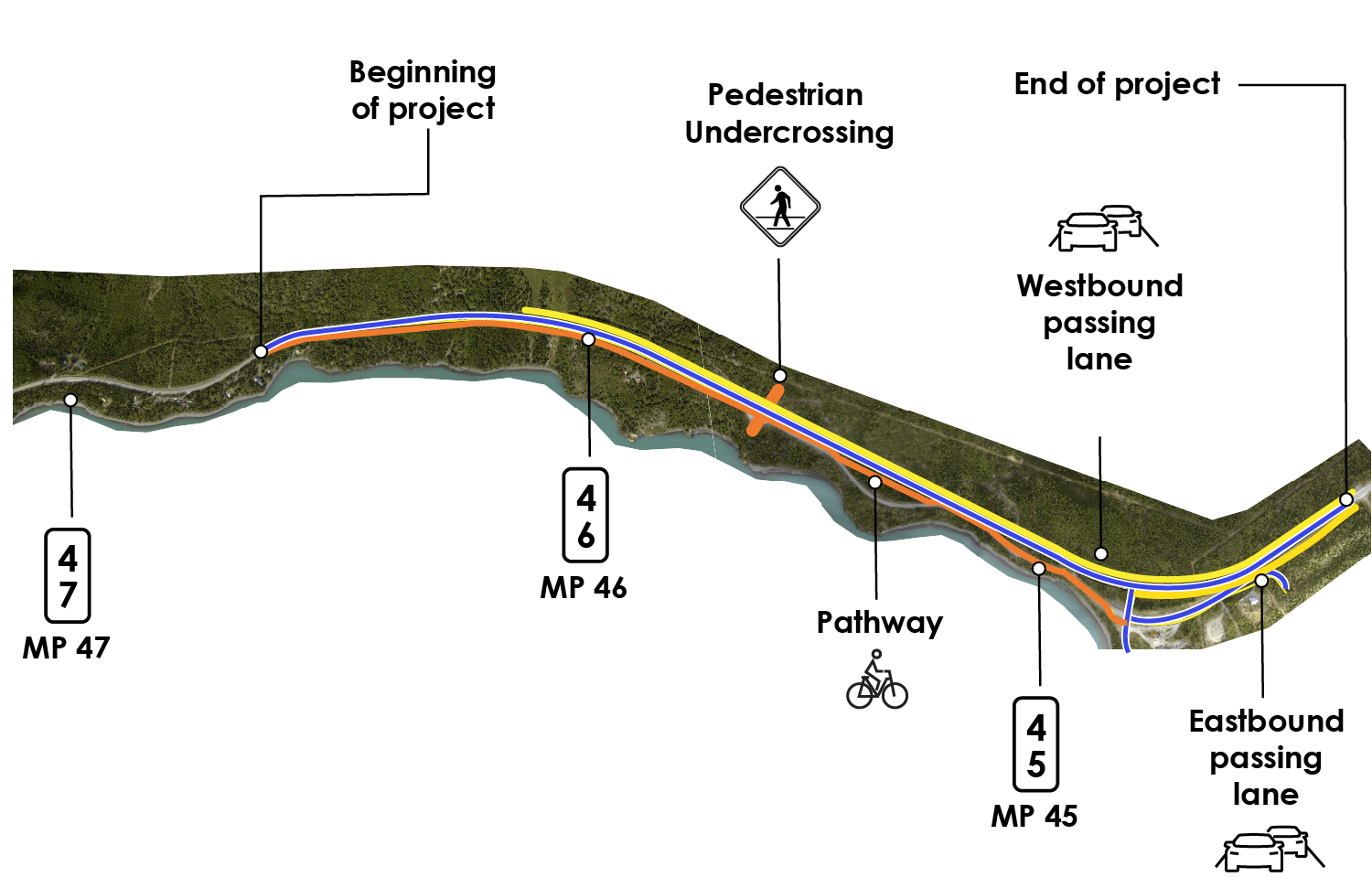
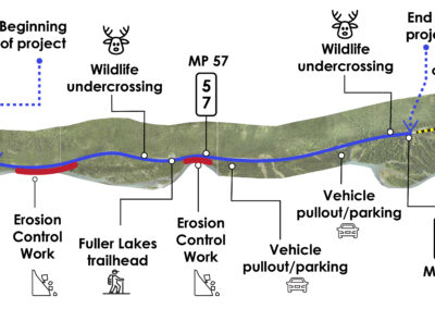
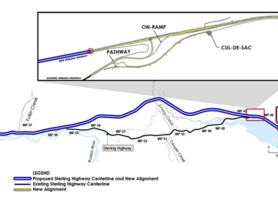
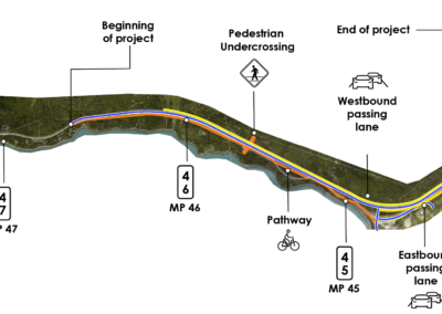
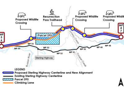
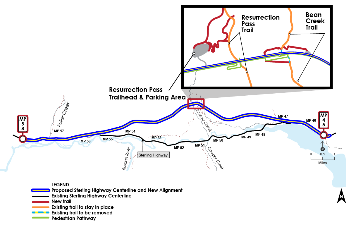
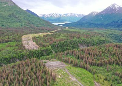
Welcome to the Sterling 45-60 Fall 2021 Online Open House Project Overview Map. Hover over the red magnifying circles to see project features.
 West End (Phase 1A)
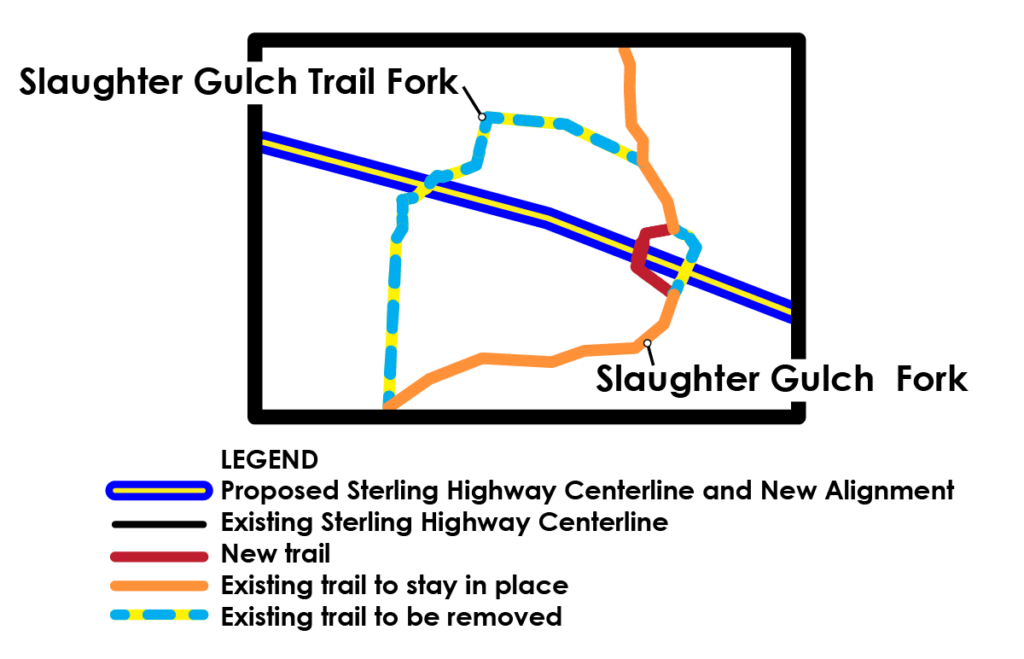
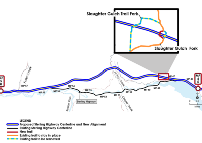
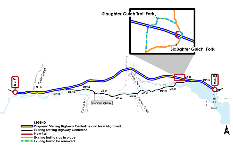
Slaughter Gulch Trail Construction
East End (Phase 1B) Under Design
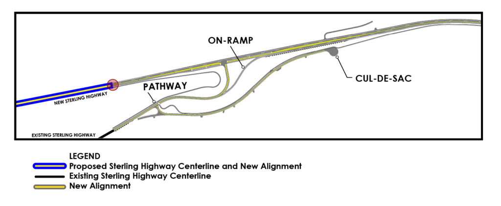
Intersection of Old and New Sterling Highway
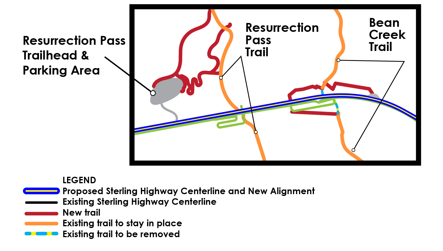
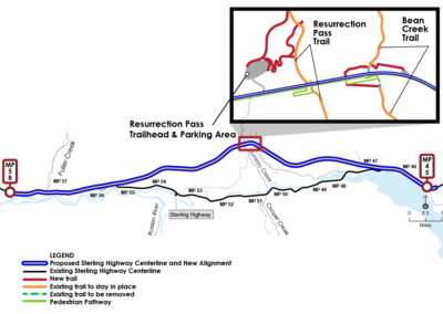
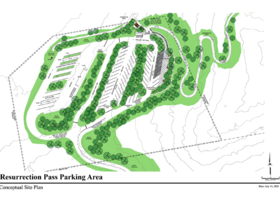
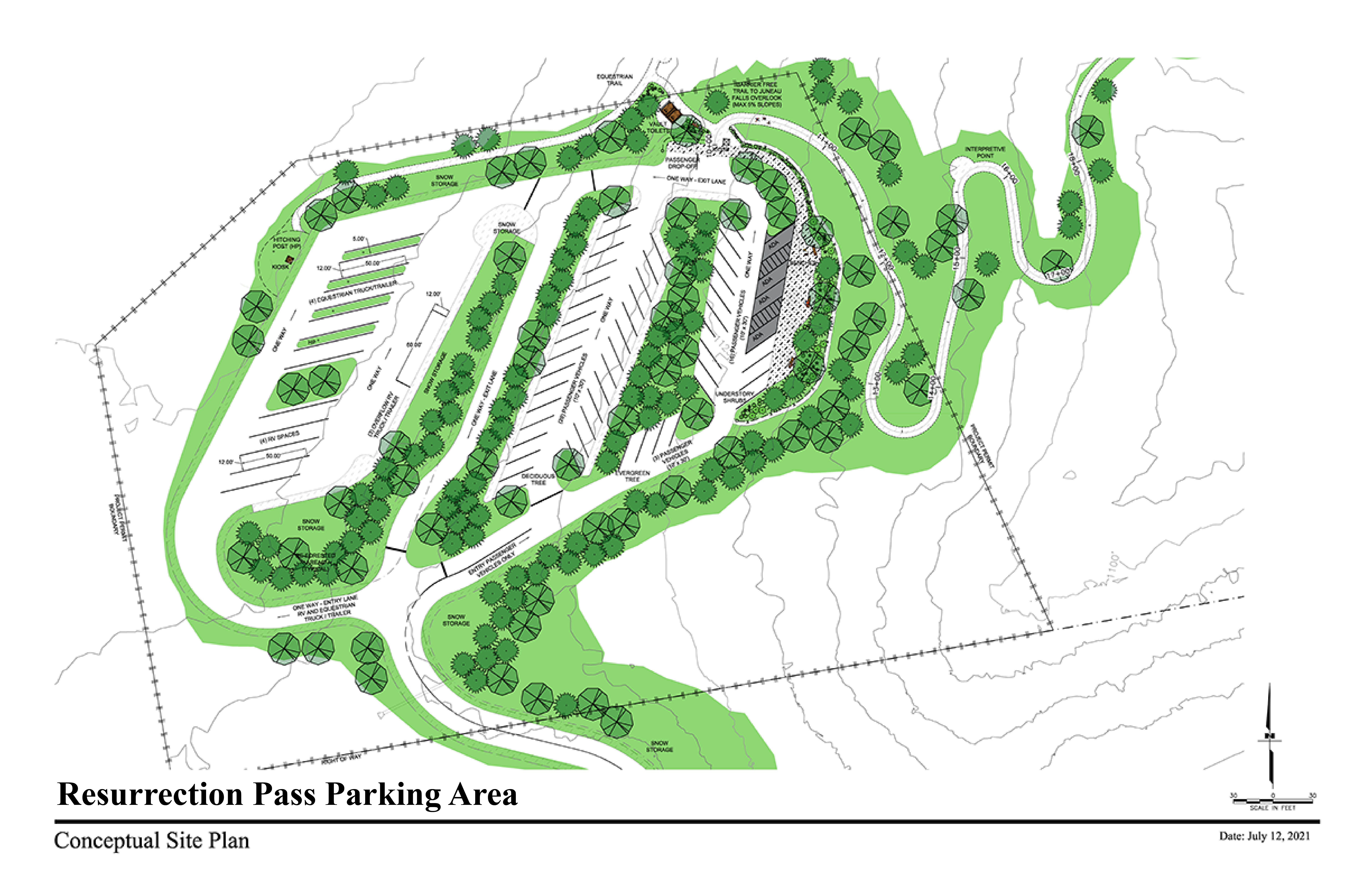
Resurrection Pass Trail Updates
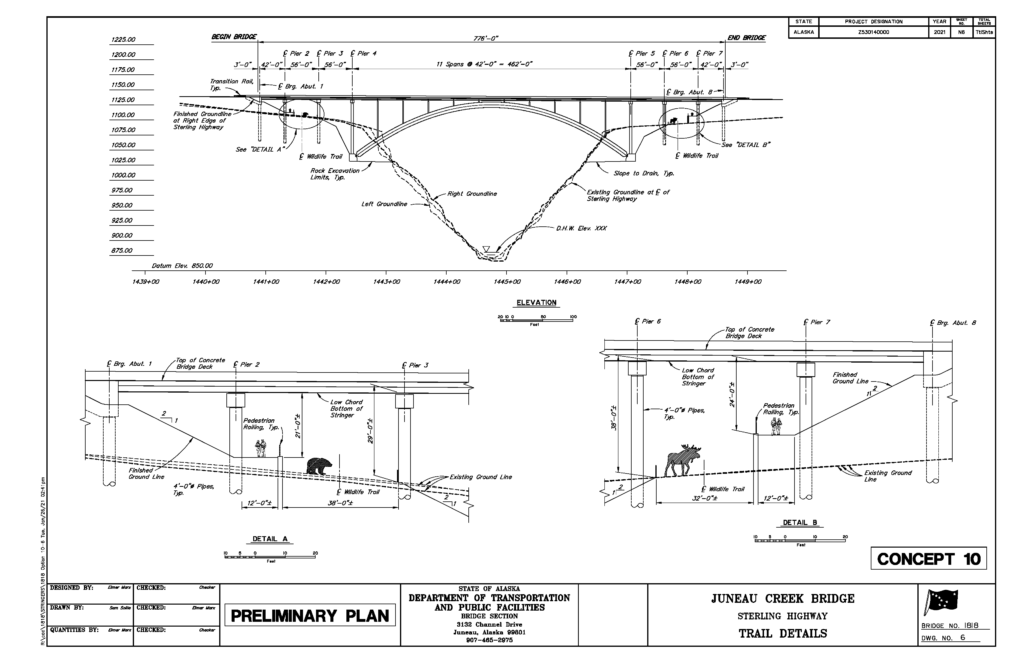
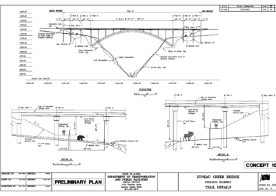
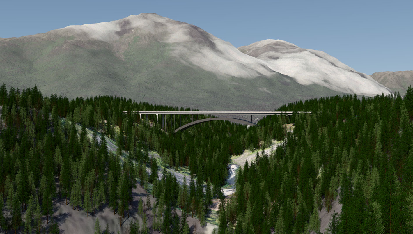
Juneau Creek Bridge – Under Design
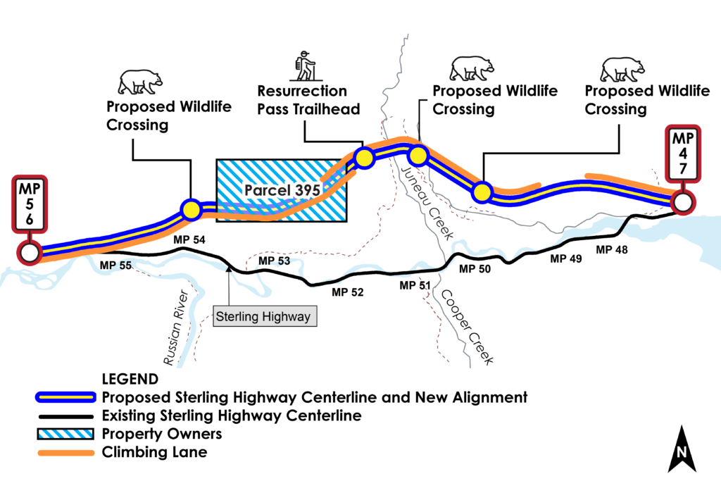
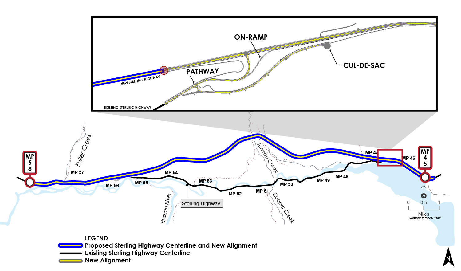
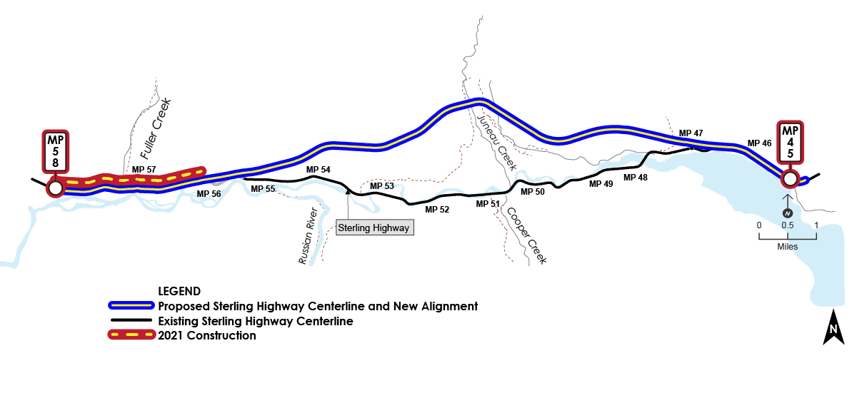
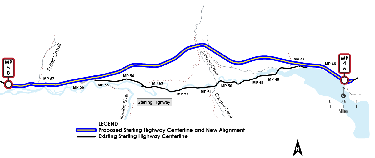
New Alignment Map
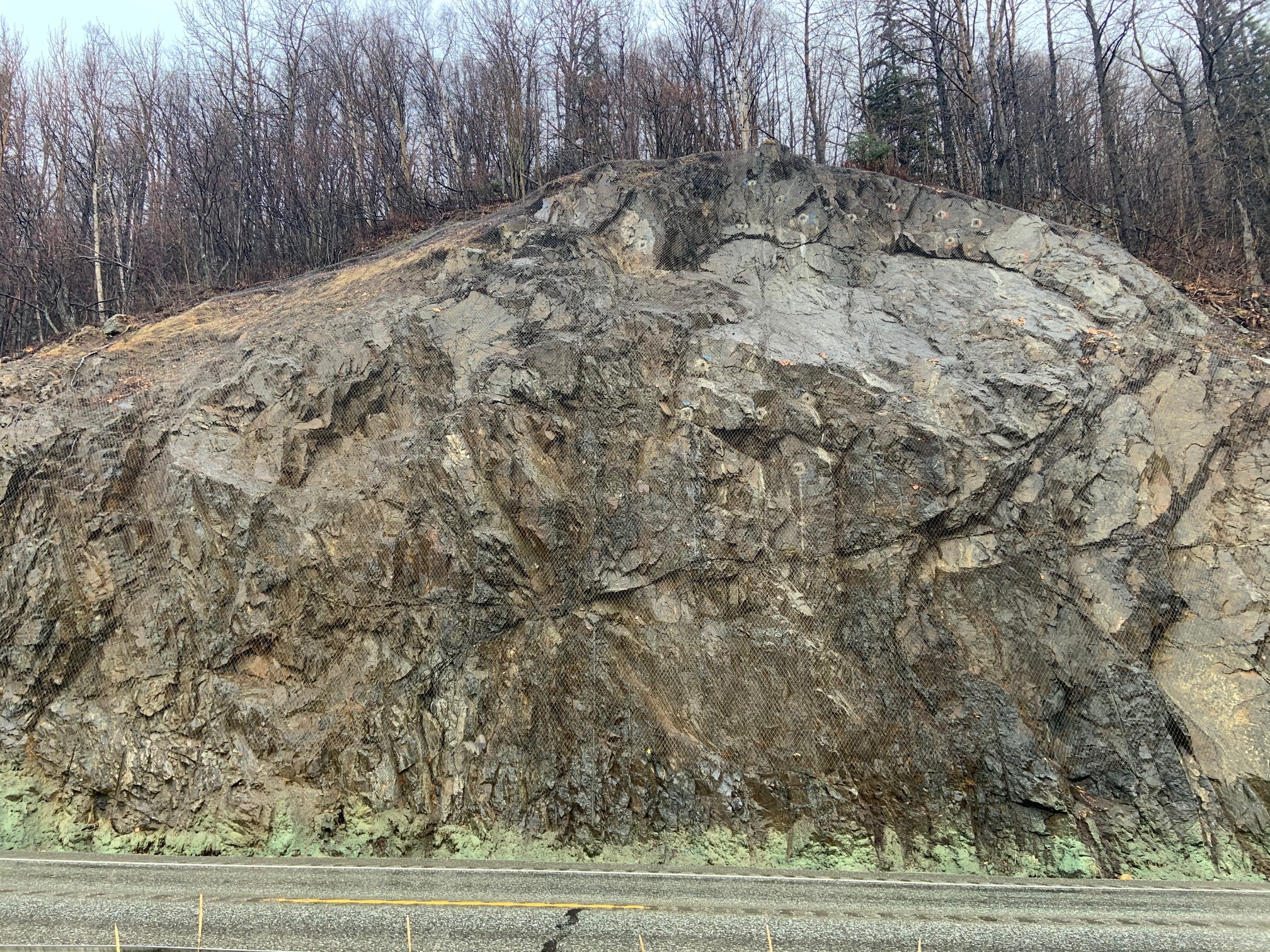
Map Gallery
Station 2 - Design Updates
Choose the left and right arrows to navigate this section.
Choose the dots to skip through the sections.
Station 3 - Schedule & Project Next Steps
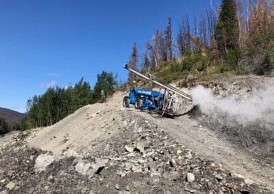
As design and construction continue, the project has seen a robust field season.
- Geotechnical investigations are continuing at the bridge site
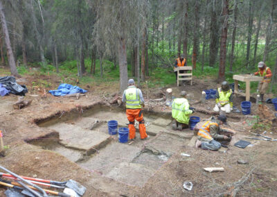
- Extensive cultural resources research and monitoring have occurred throughout the project.
- Site monitoring found cultural artifacts on June 7, 2021 (inadvertent discovery).
- Water quality testing is continuing upon request.
SCHEDULE
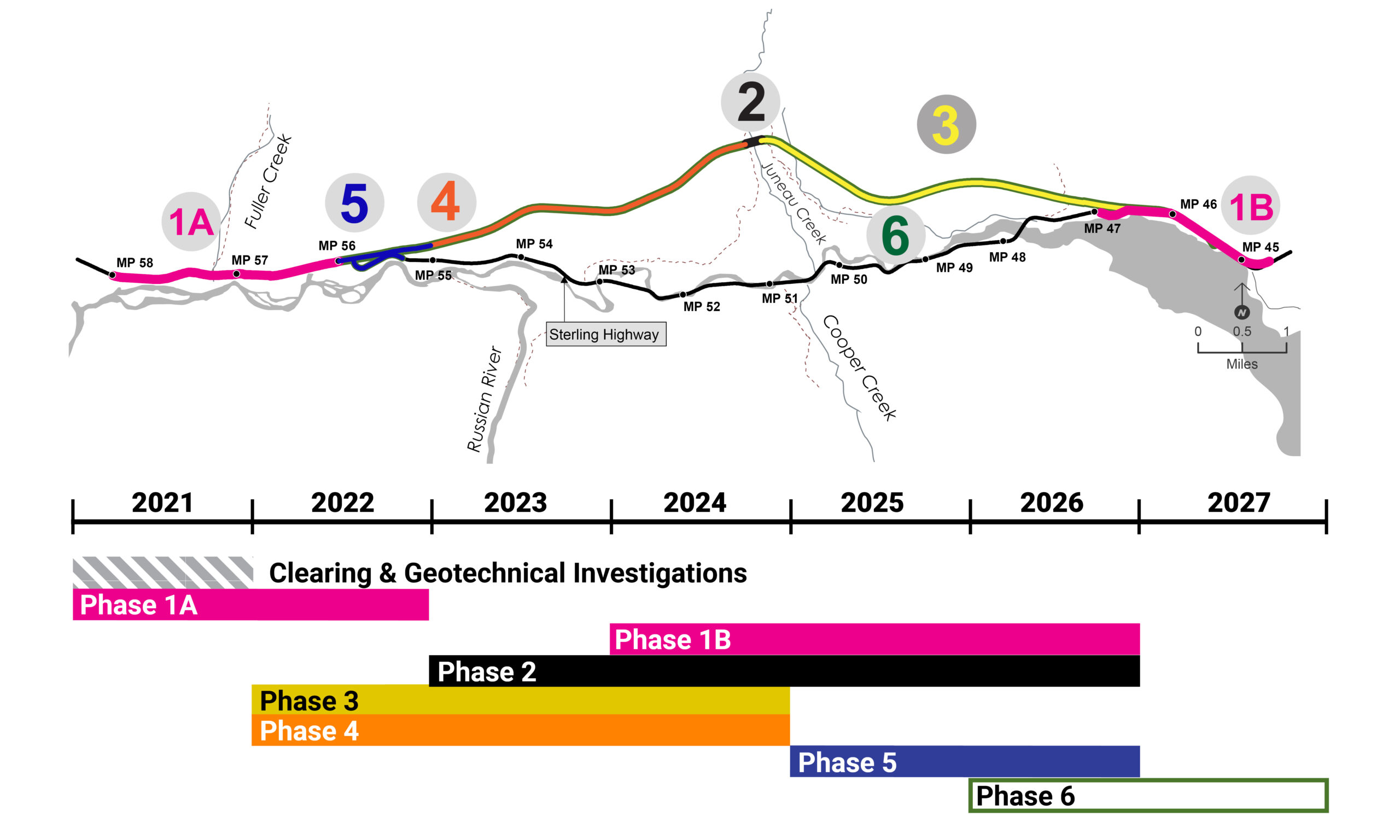
The project has separated the western intersection of the new Sterling Highway and the existing Sterling Highway (MP 55 to 56) into its own phase – and it will now be Phase 5. This was previously a part of Phase 4.
Design and construction of the western intersection are contingent on the land exchange between Cook Inlet Region, Inc. (CIRI) and the U.S. Fish and Wildlife Service (USFWS), which is tentatively scheduled to happen this winter. Once the land exchange is complete, design of the intersection will begin.
Project completion will likely occur in 2027.
RIGHT-OF-WAY
Coordination with property owners is well underway. Property appraisals are continuing on Phase 1B. The project is coordinating with Kenai Peninsula Borough & U.S. Forest Service to gain access to alignment on existing roadways. Phases 3-5 will not impact private property owners.
Station 4 - Watershed Connectivity
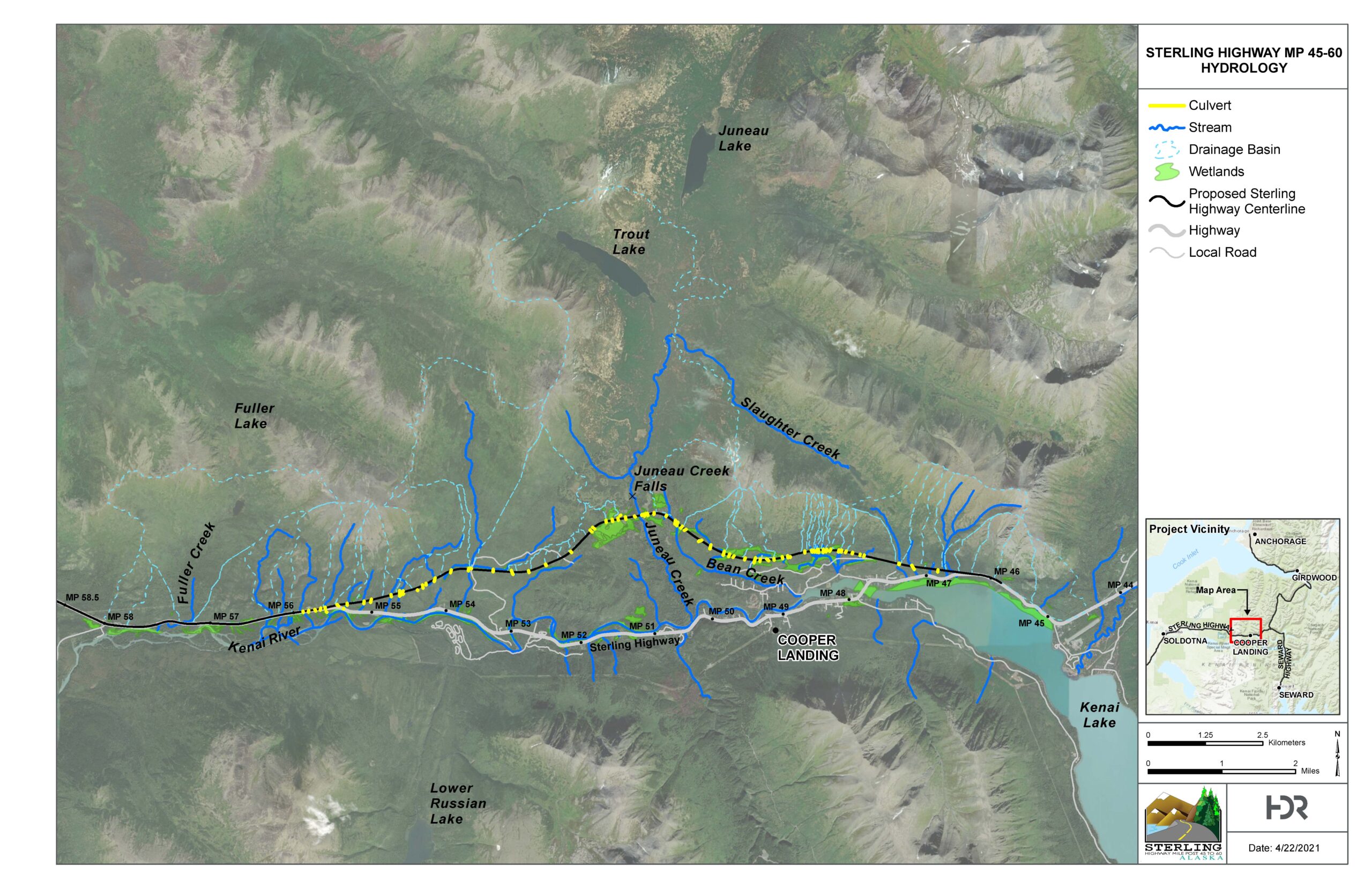
Station 5 - Construction
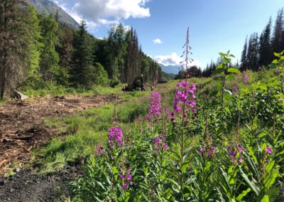
Construction will continue on the main highway at MP56-58 through the fall.
Know Before You Go
DOT&PF will notify the public about upcoming construction.
Project and road condition information
- AlaskaNavigator.org – construction status. Search for the Sterling Highway MP 45-60 project.
- 511.Alaska.Gov – road conditions – select “My 511” to create an account and sign up for alerts to your phone or email
- Sterlinghighway.net – project updates
Sign up now to receive alerts about changes to traffic patterns so you can plan your travel.
Station 6 - Public Meeting Video
Station 7 - Contact Us & Mailing List Sign-up
Comment - We want to hear from you!
Complete the CAPTCHA math equation to submit your comment.
Join our Emailing List!
Email Us
Visit the Project Website
Give us a call
Construction questions?
Shaun Combs, DOT&PF
907-351-0501
Project questions?
Katherine Wood
907-644-2153
Supporting Documents
The documents below support the information displayed throughout this online public meeting. You will need a PDF reader to view these documents. Download a free version at Adobe’s website.
